Impact crater

Petavius

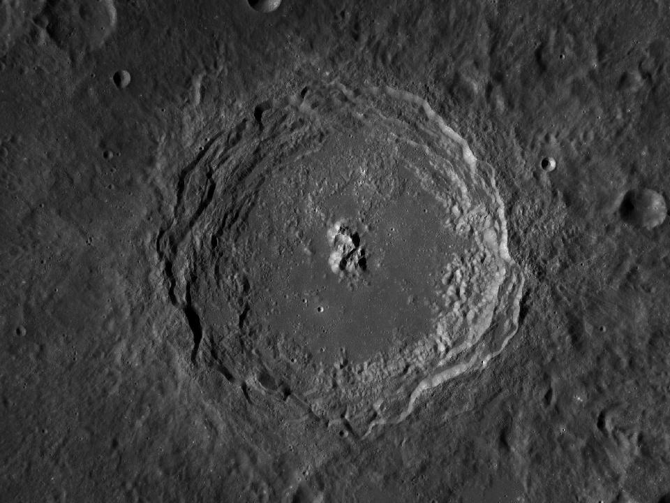
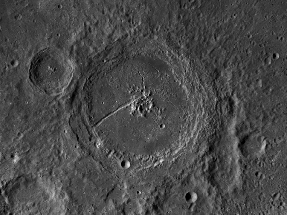
A large crater near the southeastern limb with a prominent central mountain complex. Its position makes its appearance sensitive to viewing geometry.

Open in Moon atlas ↗
Petavius and surrounding lunar terrain in the LROC Wide Angle Camera mosaic
Petavius · North up, east right. Open image ↗
NASA / GSFC / Arizona State University · LROC WAC mosaic via USGS. Regional map crop; lighting is fixed and does not follow the selected date.
Show location on the Moon
1.0×
EARTH-FACING HEMISPHERE

Preparing the lunar surface…

NSWESelect a formation · zoom to explore

Lunar north up, with geocentric libration. Full atlas mode shows the entire facing surface; switch to Selected phase for today’s illumination. Choose a different date in the atlas.

How to observe Petavius

Look for the strong line extending across the floor from the central region. Libration changes how compressed the crater appears.

Finding the region

Look at 25.39° S, 60.78° E on the lunar disc. The chart marker identifies the catalogue centre. Start with a wide field and use the nearby formations below as landmarks.

Equipment & conditions

Start at low magnification to identify the rim. Move to a moderate power when the air is steady; low sunlight usually makes walls and floor relief easier to distinguish. A bright ray system can be more conspicuous near full Moon.

Lighting

For surface relief, try a time when the Sun is low over this region. To compare surface brightness and any bright rays, return under higher illumination. The atlas calculates the solar elevation at the formation’s centre for any selected date.

View Petavius in the atlas

IAU / USGS Gazetteer

Official feature record

View original record ↗
Approved name
Petavius
Feature classification
Crater, craters
Catalogue diameter
184.06 km
Centre latitude
25.39° S
Centre longitude
60.78° E
Name origin (Gazetteer)
Petau, Denis; French chronologist, astronomer (1583-1652).

Coordinates are selenographic, with east-positive longitude. Dimensions are the Gazetteer’s catalogue values; for extended formations they do not represent a circular crater diameter. Data snapshot: 2026-09-16. Observing guidance above is separate from the official record.

Nearby formations

The four closest catalogue entries, measured from their centres.

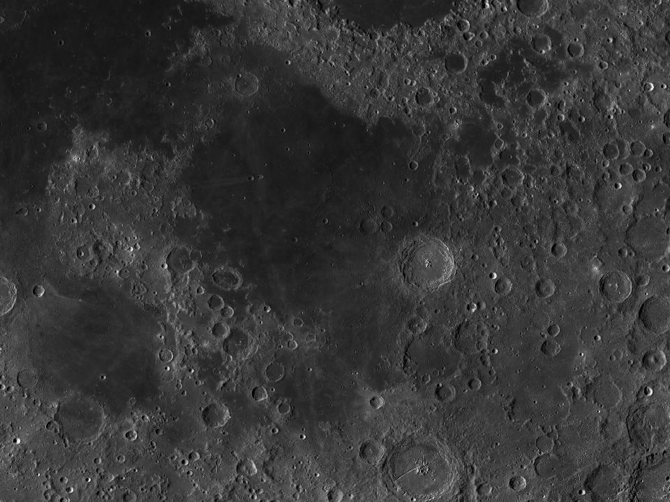
LROC photograph of LangrenusImpact crater

Langrenus

A conspicuous crater along the eastern edge of Mare Fecunditatis. The dark mare forms a helpful background for locating the brighter crater.

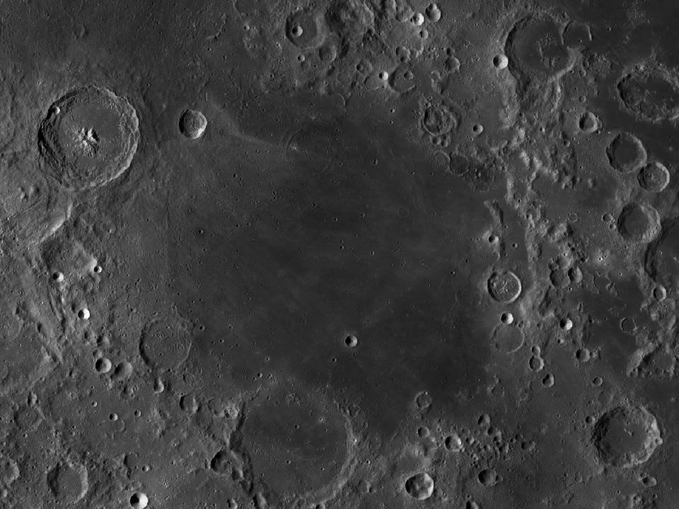
LROC photograph of Mare FecunditatisSea / bay

Mare Fecunditatis

The Sea of Fertility occupies part of the southeastern near side. Its dark surface helps outline craters along the edge.

LROC photograph of Mare NectarisSea / bay

Mare Nectaris

The Sea of Nectar is a compact dark plain southeast of the main central maria. The adjoining highlands contain a striking chain of large craters.

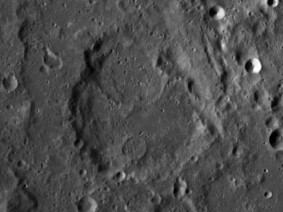
LROC photograph of CatharinaImpact crater

Catharina

The southern member of a conspicuous three-crater group west of Mare Nectaris. Its irregular interior offers a contrast to nearby Theophilus.