Mountain range

Montes Jura

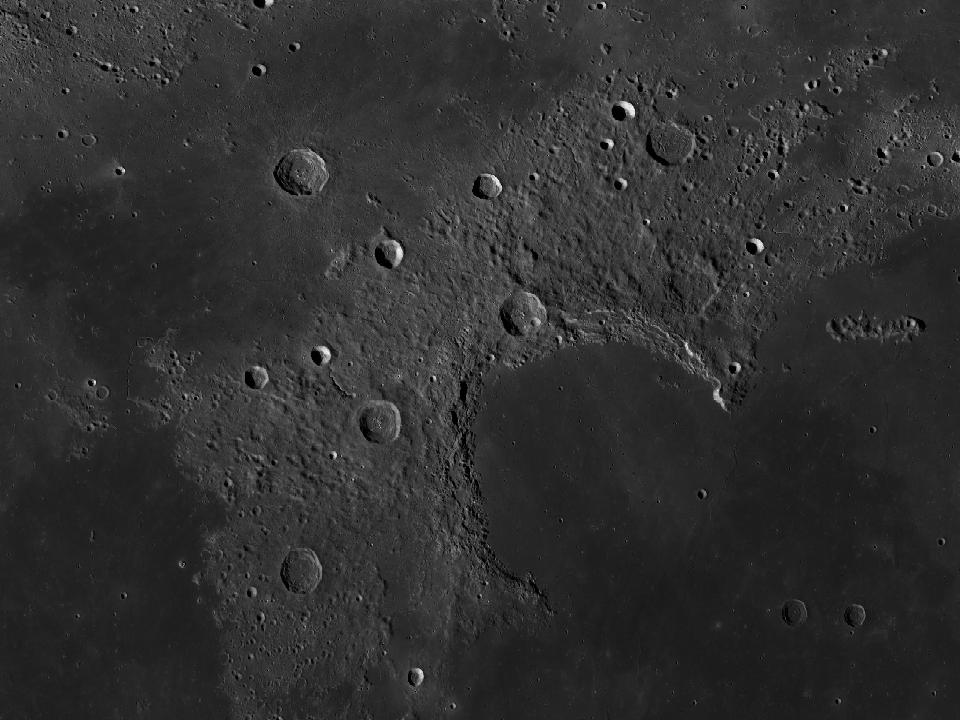
The curved mountain border of Sinus Iridum. Its arc is a conspicuous outline along the northwestern edge of Mare Imbrium.

Open in Moon atlas ↗
Montes Jura and surrounding lunar terrain in the LROC Wide Angle Camera mosaic
Montes Jura · North up, east right. Open image ↗
NASA / GSFC / Arizona State University · LROC WAC mosaic via USGS. Regional map crop; lighting is fixed and does not follow the selected date.
Show location on the Moon
1.0×
EARTH-FACING HEMISPHERE

Preparing the lunar surface…

NSWESelect a formation · zoom to explore

Lunar north up, with geocentric libration. Full atlas mode shows the entire facing surface; switch to Selected phase for today’s illumination. Choose a different date in the atlas.

How to observe Montes Jura

Frame the whole bay and follow the mountain chain from end to end. Return on successive evenings to compare the shadows.

Finding the region

Look at 47.49° N, 36.11° W on the lunar disc. The chart marker identifies the catalogue centre. Start with a wide field and use the nearby formations below as landmarks.

Equipment & conditions

Follow the chain at moderate magnification. When the Sun is low above the lunar surface, mountain shadows emphasise the relief. Apparent height and contrast change quickly as the terminator moves.

Lighting

For surface relief, try a time when the Sun is low over this region. To compare surface brightness and any bright rays, return under higher illumination. The atlas calculates the solar elevation at the formation’s centre for any selected date.

View Montes Jura in the atlas

IAU / USGS Gazetteer

Official feature record

View original record ↗
Approved name
Montes Jura
Feature classification
Mons, montes
Catalogue dimension / extent
420.80 km
Centre latitude
47.49° N
Centre longitude
36.11° W
Name origin (Gazetteer)
Named from terrestrial Jura Mountains.

Coordinates are selenographic, with east-positive longitude. Dimensions are the Gazetteer’s catalogue values; for extended formations they do not represent a circular crater diameter. Data snapshot: 2026-09-16. Observing guidance above is separate from the official record.

Nearby formations

The four closest catalogue entries, measured from their centres.

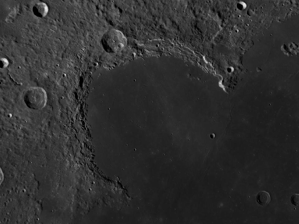
LROC photograph of Sinus IridumSea / bay

Sinus Iridum

The Bay of Rainbows is a curved embayment on the northwestern edge of Mare Imbrium, bordered by Montes Jura.

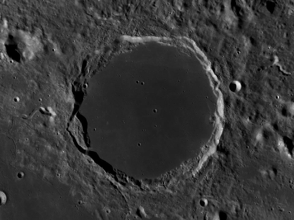
LROC photograph of PlatoImpact crater

Plato

A dark-floored crater along the northern edge of Mare Imbrium. Its smooth interior contrasts with the surrounding rugged terrain.

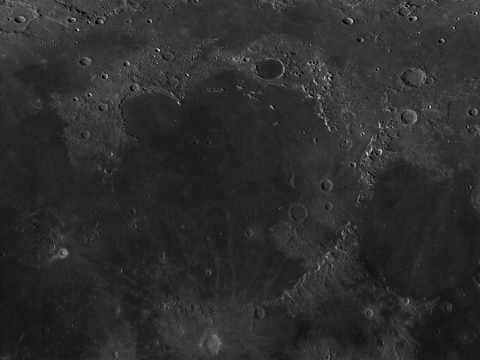
LROC photograph of Mare ImbriumSea / bay

Mare Imbrium

The Sea of Rains is a large lava plain in the northwestern near side. Mountain arcs and prominent craters provide numerous landmarks around its margins.

1,145.5 kmRead guide ↗
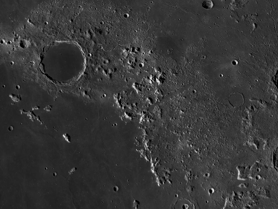
LROC photograph of Montes AlpesMountain range

Montes Alpes

A mountainous region along the northeastern border of Mare Imbrium. Vallis Alpes cuts a distinctive path through this terrain.