Impact crater

Tycho

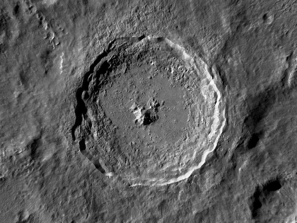
A crater in the southern highlands surrounded by bright impact rays. Its rim, central peak and terraced walls stand out against the older, densely cratered terrain.

Open in Moon atlas ↗
Tycho and surrounding lunar terrain in the LROC Wide Angle Camera mosaic
Tycho · North up, east right. Open image ↗
NASA / GSFC / Arizona State University · LROC WAC mosaic via USGS. Regional map crop; lighting is fixed and does not follow the selected date.
Show location on the Moon
1.0×
EARTH-FACING HEMISPHERE

Preparing the lunar surface…

NSWESelect a formation · zoom to explore

Lunar north up, with geocentric libration. Full atlas mode shows the entire facing surface; switch to Selected phase for today’s illumination. Choose a different date in the atlas.

How to observe Tycho

Compare two visits: low sunlight for the crater rim and central peak, then a nearly full Moon for the rays.

Finding the region

Look at 43.30° S, 11.22° W on the lunar disc. The chart marker identifies the catalogue centre. Start with a wide field and use the nearby formations below as landmarks.

Equipment & conditions

Start at low magnification to identify the rim. Move to a moderate power when the air is steady; low sunlight usually makes walls and floor relief easier to distinguish. A bright ray system can be more conspicuous near full Moon.

Lighting

For surface relief, try a time when the Sun is low over this region. To compare surface brightness and any bright rays, return under higher illumination. The atlas calculates the solar elevation at the formation’s centre for any selected date.

View Tycho in the atlas

IAU / USGS Gazetteer

Official feature record

View original record ↗
Approved name
Tycho
Feature classification
Crater, craters
Catalogue diameter
85.29 km
Centre latitude
43.30° S
Centre longitude
11.22° W
Name origin (Gazetteer)
Tycho Brahe; Danish astronomer (1546-1601).

Coordinates are selenographic, with east-positive longitude. Dimensions are the Gazetteer’s catalogue values; for extended formations they do not represent a circular crater diameter. Data snapshot: 2026-09-16. Observing guidance above is separate from the official record.

Nearby formations

The four closest catalogue entries, measured from their centres.

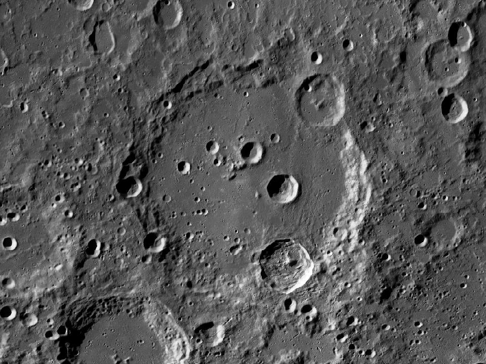
LROC photograph of ClaviusImpact crater

Clavius

A large southern crater containing a distinctive curved sequence of smaller craters. The largest interior craters are visible well before the smaller craterlets.

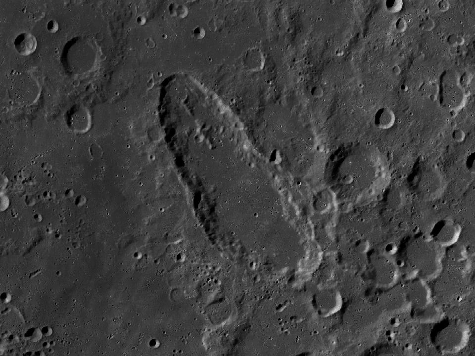
LROC photograph of SchillerImpact crater

Schiller

A markedly elongated crater in the southwestern highlands. Its shape stands out among the more rounded neighbouring formations.

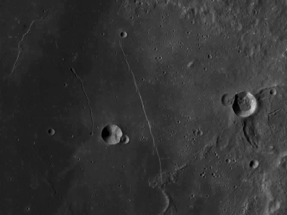
LROC photograph of Rupes RectaValley / rille / scarp

Rupes Recta

The Straight Wall is a linear scarp in Mare Nubium. Its appearance depends strongly on the direction and height of the sunlight.

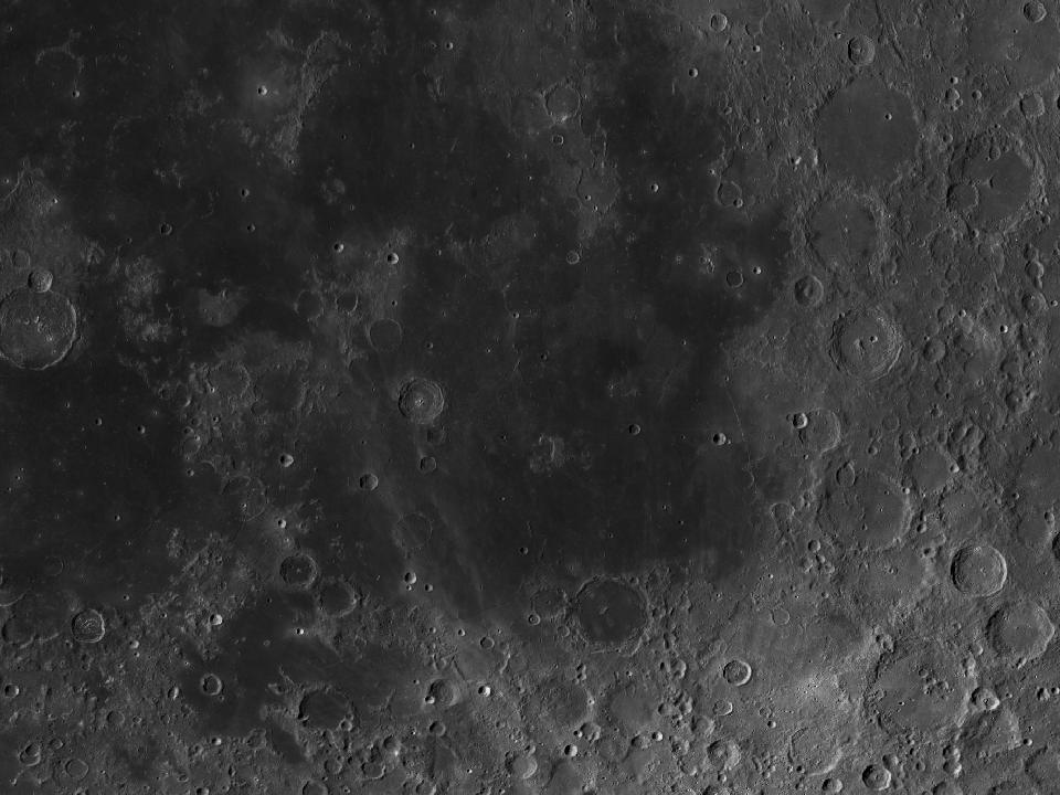
LROC photograph of Mare NubiumSea / bay

Mare Nubium

The Sea of Clouds is an irregular dark region south of the lunar equator. Partly buried formations and neighbouring highlands make its borders varied.