Impact crater

Schiller

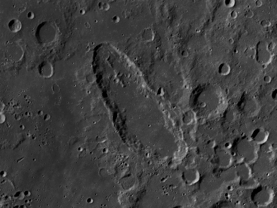
A markedly elongated crater in the southwestern highlands. Its shape stands out among the more rounded neighbouring formations.

Open in Moon atlas ↗
Planner 0
Local horizon & screen options

Buildings & trees

Save your local skyline. North is 0°, east 90°, south 180°, west 270°. The height is degrees above the flat horizon.

Choose an observing location to save its horizon.

Screen

Dim the screen as well as using red mode. Your browser may release the screen lock when the app is hidden or battery is low.

Screen wake lock is unavailable in this browser.

Planner (0) →
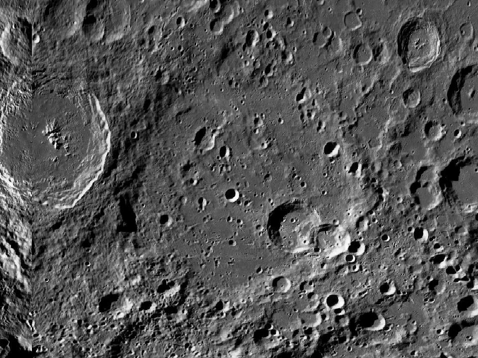
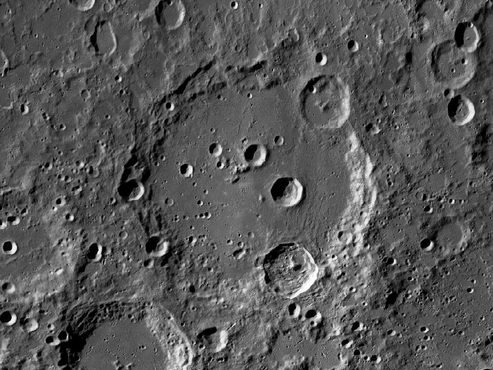
Schiller and surrounding lunar terrain in the LROC Wide Angle Camera mosaic
Schiller · North up, east right. Open image ↗
NASA / GSFC / Arizona State University · LROC WAC mosaic via USGS. Regional map crop; lighting is fixed and does not follow the selected date.
Show location on the Moon
1.0×
EARTH-FACING HEMISPHERE

Preparing the lunar surface…

NSWESelect a formation · zoom to explore

North up · Change date in atlas ↗

How to observe Schiller

Trace the long axis and compare the outline with nearby craters. Low sunlight makes the unusual perimeter easier to follow.

Finding the region

Look at 51.72° S, 39.78° W on the lunar disc. The chart marker identifies the catalogue centre. Start with a wide field and use the nearby formations below as landmarks.

Equipment & conditions

Start at low magnification to identify the rim. Move to a moderate power when the air is steady; low sunlight usually makes walls and floor relief easier to distinguish. A bright ray system can be more conspicuous near full Moon.

Lighting

For surface relief, try a time when the Sun is low over this region. To compare surface brightness and any bright rays, return under higher illumination. The atlas calculates the solar elevation at the formation’s centre for any selected date.

View Schiller in the atlas →
IAU / USGS Gazetteer

Official feature record

View original record ↗
Approved name
Schiller
Feature classification
Crater, craters
Catalogue diameter
179.36 km
Centre latitude
51.72° S
Centre longitude
39.78° W
Name origin (Gazetteer)
Julius; German astronomer (unkn-fl. 1627).

Selenographic coordinates · East-positive longitude · Catalogue extent · Updated 2026-09-16

Nearby formations

LROC photograph of SchickardImpact crater

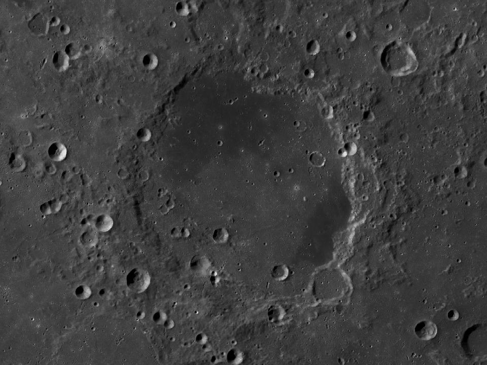
Schickard

A broad walled plain in the southwestern lunar highlands. Different parts of its floor have noticeably different surface brightness.

LROC photograph of ClaviusImpact crater

Clavius

A large southern crater containing a distinctive curved sequence of smaller craters. The largest interior craters are visible well before the smaller craterlets.

LROC photograph of BaillyImpact crater

Bailly

A vast, battered formation near the southwestern limb. Foreshortening makes the interior much harder to inspect than the catalogue size might suggest.

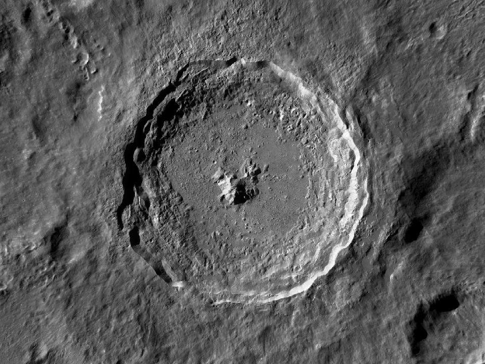
LROC photograph of TychoImpact crater

Tycho

A crater in the southern highlands surrounded by bright impact rays. Its rim, central peak and terraced walls stand out against the older, densely cratered terrain.