Impact crater

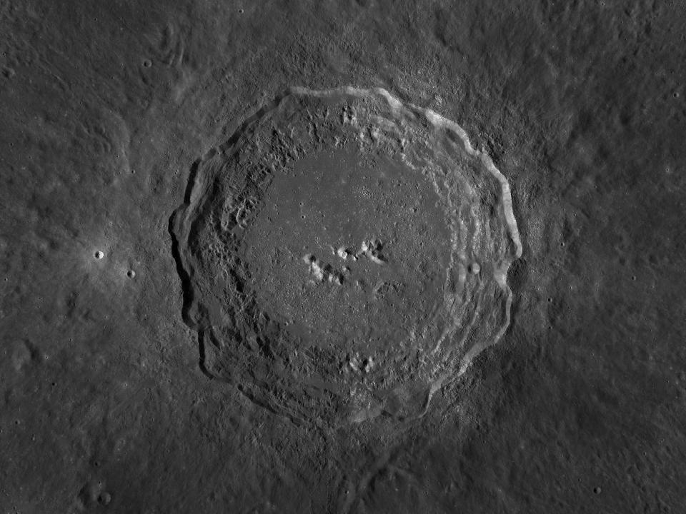
Copernicus

A prominent impact crater south of Mare Imbrium. It has terraced inner walls, central peaks and a broad field of ejecta.

Open in Moon atlas ↗
Planner 0
Local horizon & screen options

Buildings & trees

Save your local skyline. North is 0°, east 90°, south 180°, west 270°. The height is degrees above the flat horizon.

Choose an observing location to save its horizon.

Screen

Dim the screen as well as using red mode. Your browser may release the screen lock when the app is hidden or battery is low.

Screen wake lock is unavailable in this browser.

Planner (0) →
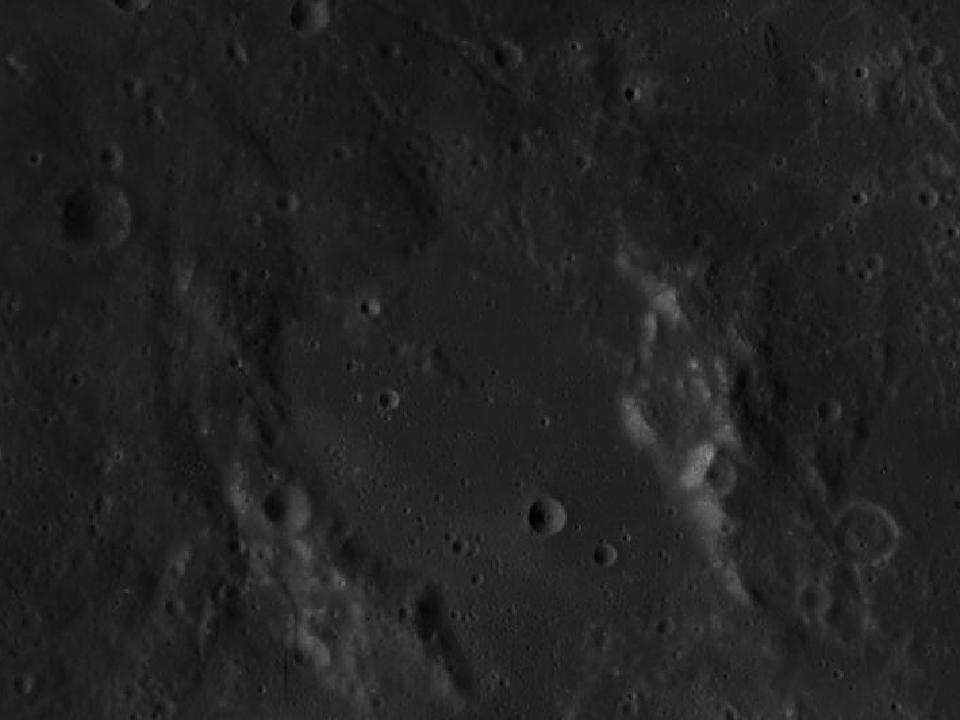
Copernicus and surrounding lunar terrain in the LROC Wide Angle Camera mosaic
Copernicus · North up, east right. Open image ↗
NASA / GSFC / Arizona State University · LROC WAC mosaic via USGS. Regional map crop; lighting is fixed and does not follow the selected date.
Show location on the Moon
1.0×
EARTH-FACING HEMISPHERE

Preparing the lunar surface…

NSWESelect a formation · zoom to explore

North up · Change date in atlas ↗

How to observe Copernicus

Start with the bright rim, then look for the stepped inner walls and isolated peaks. Return under higher sunlight to follow the ejecta rays.

Finding the region

Look at 9.62° N, 20.08° W on the lunar disc. The chart marker identifies the catalogue centre. Start with a wide field and use the nearby formations below as landmarks.

Equipment & conditions

Start at low magnification to identify the rim. Move to a moderate power when the air is steady; low sunlight usually makes walls and floor relief easier to distinguish. A bright ray system can be more conspicuous near full Moon.

Lighting

For surface relief, try a time when the Sun is low over this region. To compare surface brightness and any bright rays, return under higher illumination. The atlas calculates the solar elevation at the formation’s centre for any selected date.

View Copernicus in the atlas →
IAU / USGS Gazetteer

Official feature record

View original record ↗
Approved name
Copernicus
Feature classification
Crater, craters
Catalogue diameter
96.07 km
Centre latitude
9.62° N
Centre longitude
20.08° W
Name origin (Gazetteer)
Nicholas; Polish astronomer (1473-1543).

Selenographic coordinates · East-positive longitude · Catalogue extent · Updated 2026-09-16

Nearby formations

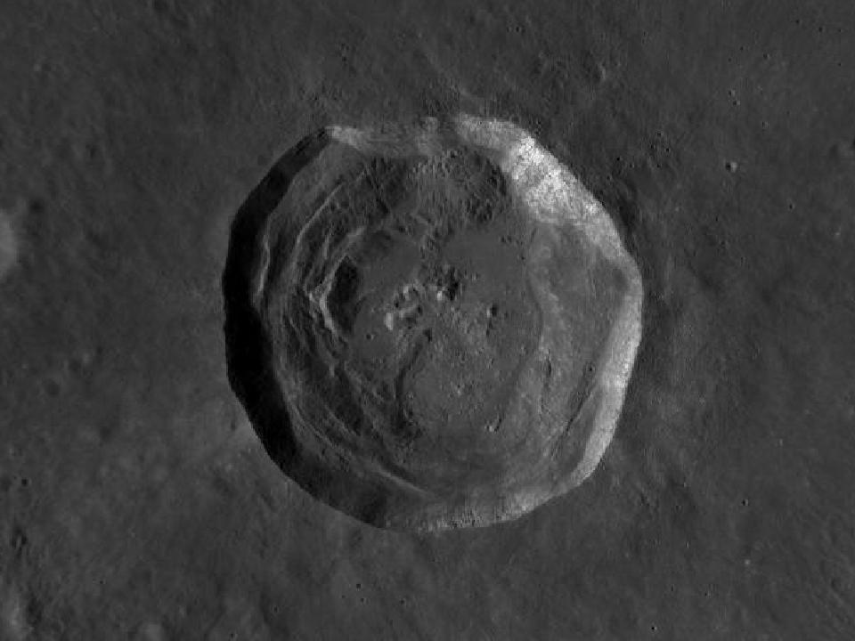
LROC photograph of EratosthenesImpact crater

Eratosthenes

A sharply defined crater at the southwestern end of Montes Apenninus. It provides a useful landmark between the mountain chain and the plains farther west.

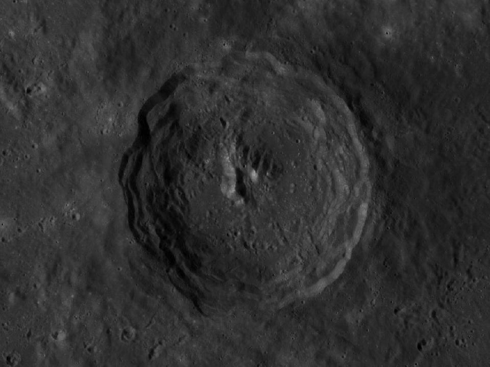
LROC photograph of SchroterImpact crater

Schroter

A worn crater in the central near-side region, north of the Sinus Medii area. It is a subtler target than the major bright ray craters.

LROC photograph of KeplerImpact crater

Kepler

An isolated ray crater in the western maria, smaller than Copernicus but easy to locate by its bright surroundings.

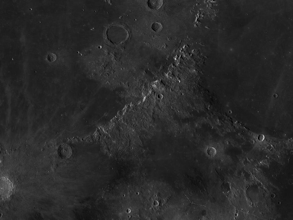
LROC photograph of Montes ApenninusMountain range

Montes Apenninus

A mountain arc bordering southeastern Mare Imbrium. Its ridges and peaks cast long shadows across the adjacent plain under low sunlight.